Some time ago the construction manager on my current project told me about some software that would automatically geotag photographs by matching their date/time with a GPS track. He used to work for BHP Billiton, so the software was hideously expensive.
Experience has taught me that there are free versions of most clever or useful software. In this case it is called GeoSetter and it is really quite good (maybe a few issues with the interface, but nothing I can’t live with).
I’ve had it installed for a while but haven’t taken the time to fiddle with its more advanced capabilities. My current client is spending a lot of other people’s (investors) money, and they need to show them what they are doing with it. So they charter a helicopter every month to do an overflight: I didn’t go (Mr Construction Manager didn’t want both his engineers on the same aircraft in case it crashed…) but my colleague took a few decent pictures and had the Garmin with him.

- Download from the links below and open in Google Earth
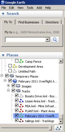
- Rummage down the right hand side under “Places” (your set up may vary)
- Select “February 2011 Overflight”
- Click on the “Play tour” icon.
[salbumthumbs=10,3,n,n,center,]
[geo_mashup_map]